Debordering Ambos Nogales with Green Infrastructure

Debordering Ambos Nogales with Green Infrastructure

Because cities contain many roofs, paved roads, parking lots, and other hard surfaces, they seal the ground and alter the water cycle by reducing rainwater infiltration. In Nogales, Sonora and Nogales,, Arizona, all the rainwater that is not absorbed by the soils or trees during the monsoon concentrates and runs speedily through city streets, often causing floods and contamination. 

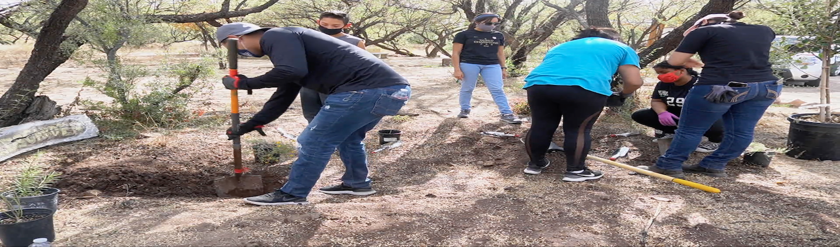
Associate professor Francisco Lara Valencia, is leading a project seeking to restore the natural water cycle in Ambos Nogales by researching and promoting the use of urban green infrastructure.

Project Subject Area                                                                                                                  

  • Social-environmental vulnerability
  • Climate change
  • Urban health
  • Land suitability

Project Details                                                                                                                           

The Ambos Nogales Green Infrastructure Strategy (ANGIS) presents an alternative approach to improving water quality that integrates targeted, small-scale green infrastructure solutions (such as swales, rain gardens, and rainwater harvesting) with investments to optimize stormwater management using traditional infrastructure (gray infrastructure). 
This is a multi-pronged, modular, and adaptive approach to a complex binational problem that will provide widespread, immediate benefits at a lower cost on both sides of the border. The GI component of this strategy builds upon and reinforces the strong community support for nature-based solutions to stormwater management (flooding), water quality protection, and green space production and preservation in Ambos Nogales. The grey infrastructure component will require cooperation with government and planning entities coordinating water management investments.
A critical goal of the GI component is to manage runoff from 10% of the impervious surfaces to reduce combined sewer overflows in the Nogales Watersheds through detention and infiltration source controls. The Ambos Nogales GIS includes retrofits of city parks, schools, sports fields, streets, sidewalks, and sustainable re-development and development of property on both sides of the border.

Research Team                                                                                                                           

  • Francisco Lara-Valencia, Arizona State University
  • Gabriel Diaz-Montemayor, Landscape architect, University of Arkansas
  • Margaret Garcia, hydrologist, Arizona State University
  • Hilda García-Pérez, epidemiologist, El Colegio de la Frontera Norte
  •  César López, Community educator, Seeds/Semillas 
  • María de los Angeles Rodríguez Estrella, Urbanist, IMIP Nogales 
  • Adriana Zuñiga-Teran. Architect and environmental scientist, University of Arizona 
  • Claudia Gil-Anaya, Engineer and border liaison, Arizona Department of Environmental Quality 
  • Laura M. Norman, Research scientist, USGS •
  • Edgar Castellanos, Engineer, IMIP Nogales •
  • Alma Anides, Doctoral Student, University of Arizona •
  • Patricia Schwartz, Graduate Student, University of Arizona 
  • Yunpei Zhang, Graduate Student, Arizona State University 
  • Travis Lundell, Graduate Student, Arizona State University 
  • Joaquin Murrieta, Watershed Management Group 
  • Joaquin Marrufo, Arizona Department of Environmental Quality

Funding.                                                                                                                                       

  • Environmental Protection Agency (EPA)
  • North American Development Bank (NADBANK)